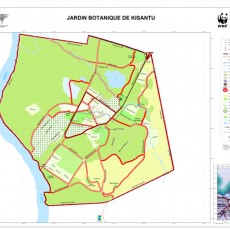
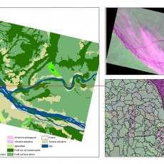
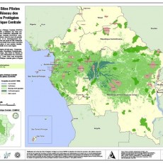
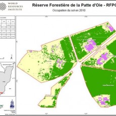
FACET ROC Data
ROC FACET Atlas
- ROC FACET Atlas HR (PDF, 348 MB)
- ROC FACET Atlas LR (PDF, 43 MB)
- FACET forest cover change image (0 MB)
- Instructions (PDF, 0 KB)
- Readme file (PDF, 165 KB)
High resolution ROC Forest Change Atlas
- ROC_FACET_Atlas_HR.part01 (50 MB)
- ROC_FACET_Atlas_HR.part02 (50 MB)
- ROC_FACET_Atlas_HR.part03 (50 MB)
- ROC_FACET_Atlas_HR.part04 (50 MB)
- ROC_FACET_Atlas_HR.part05 (50 MB)
- ROC_FACET_Atlas_HR.part06 (50 MB)
- ROC_FACET_Atlas_HR.part07 (50 MB)
- ROC_FACET_Atlas_HR.part08 (50 MB)
- ROC_FACET_Atlas_HR.part09 (50 MB)
- ROC_FACET_Atlas_HR.part10 (50 MB)
- ROC_FACET_Atlas_HR.part11 (50 MB)
ROC FACET Data
- ROC_FACET_data.p1 (RAR, 300 MB)
- ROC_FACET_data.p2 (RAR, 300 MB)
- ROC_FACET_data.p3 (RAR, 300 MB)
- ROC_FACET_data.p4 (RAR, 300 MB)
- ROC_FACET_data.p5 (RAR, 281 MB)

Super User
Webinar about Large Scale Monitoring and Land Cover and Land Use
We would like to invite you for a webinar about Large Scale Monitoring and Land Cover and Land Use next Thursday Feb 27th from 2 to 4 pm presented by the team of MapBiomas, a Network of local scientists and organizations working that are producing free and open source historical annual of land cover and land use maps in 14 countries through South America and Indonesia.
Studies of fire dynamics and forest cover loss in Mai-Ndombe Province
The Democratic Republic of Congo (DRC), because of its forestry potential and the role it plays in climate regulation, has been resolutely committed since the Bali Conference in 2007 to reducing emissions from deforestation and forest degradation (REDD).


