FACET DRC Data
DRC FACET Atlas
- DRC FACET Atlas HR (PDF, 566 MB)
- DRC FACET Atlas LR (PDF, 47 MB)
- DRC FACET Statistics (PDF, 48 MB)
- FACET forest cover change image (56 MB)
- Instructions (PDF, 167 KB)
- Readme file (PDF, 129 KB)
High resolution DRC Forest Change Atlas
- DRC_FACET_Atlas_HR.part01 (50 MB)
- DRC_FACET_Atlas_HR.part02 (50 MB)
- DRC_FACET_Atlas_HR.part03 (50 MB)
- DRC_FACET_Atlas_HR.part04 (50 MB)
- DRC_FACET_Atlas_HR.part05 (50 MB)
- DRC_FACET_Atlas_HR.part06 (50 MB)
- DRC_FACET_Atlas_HR.part07 (50 MB)
- DRC_FACET_Atlas_HR.part08 (50 MB)
- DRC_FACET_Atlas_HR.part09 (50 MB)
- DRC_FACET_Atlas_HR.part10 (50 MB)
- DRC_FACET_Atlas_HR.part11 (50 MB)
- DRC_FACET_Atlas_HR.part12 (50 MB)
Landsat image composites 2000–2005 and 2005–2010
- landsat_comp_2000_2005.p1 (300 MB)
- landsat_comp_2000_2005.p2 (300 MB)
- landsat_comp_2000_2005.p3 (300 MB)
- landsat_comp_2000_2005.p4 (25 MB)
- landsat_comp_2005_2010.p1 (300 MB)
- landsat_comp_2005_2010.p2 (300 MB)
- landsat_comp_2005_2010.p3 (300 MB)
- landsat_comp_2005_2010.p4 (41 MB)

Super User
Moabi DR Congo
Moabi DRC is a collaborative mapping initiative that aims to increase transparency and accountability on resource issues in DRC. It’s part of the project, Improving Forest Governance through independent monitoring in the Democratic of Congo - a multi-partner project building the institutions and tools necessary to independently monitoring natural resources across DRC.
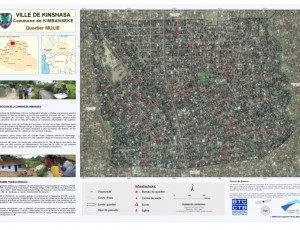
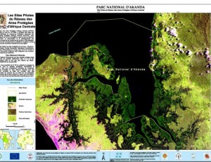
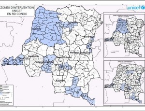
Thematic mapping and Spatial data
Participatory mapping of the project “Mode de gestion des forêts communautaires”, UNFPA project, Localisation of intervention sites of PMURR, Inventory of geospatial data in Central Africa, Inventory of geospatial data in DR Congo.


