Participatory mapping of the project “Mode de gestion des forêts communautaires”
Project description
Main objective
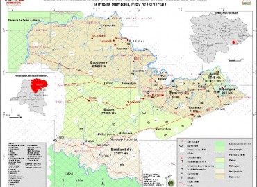
- Participatory forest mapping of local communities in the DRC.
Specific objectives
- Develop a participatory mapping methododology
- Help local communities to delimit their forests
- Develop a GIS database for the management of local forests Communities
Methodology
- GPS data collection on the field
- Integration of data in a database
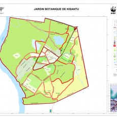
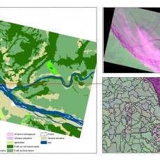
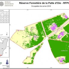
- Production of maps
- Validation of maps with all stakeholders through workshops
Partners
- Forest Monitor, OSFAC, RRN
Duration : 6 Months
Results
- Database community forest developed
- Maps of community forests Tshela Basankusu and Teturi made
UNFPA project
Project description
Main objective
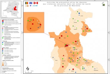
- Locate areas of prevention and response to sexual violence in some provinces of the DRC.
Specific objectives
- Make a thematic study of the distribution of sexual violence in DRC
- Spatialized data and information collected
Methodology
- Collect statistical data
- Organization of information by provinces
- Categorization by territories and types of violence
- Production of maps
Partners
- Embassy Belgium, Canada, UNFPA, UNICEF
Duration : 3 Months
Results
- Thematic maps of prevention and / or response to sexual violence in the provinces of Maniema, Equateur, North Kivu, South Kivu and Orientale produced
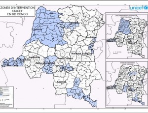
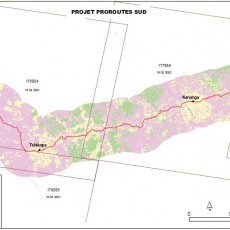
Localisation of intervention sites of PMURR
Project description
Main objective
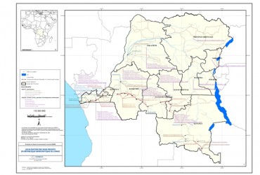
- Locate and map sites of intervention of PMURR in the DRC
Specific objectives
- Develop a geographic database
- Mapping sites of project intervention
Methodology
- Identification of PMURR sites
- Development of a geographic database
- Making a general mapping of interventions sites of PMURR project
Partners
- SOFRECO (Société Française d’étude et Conseils)
Duration : 2 Weeks
Results
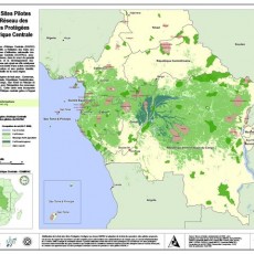
- General map of PMURR sites
- Geographic database
Inventory of geospatial data in Central Africa
Project description
Main objective
- Inventory holding institutions geospatial data available in Central Africa
Specific objectives
- Inventory data available in Central Africa
- Identify the institutions holding data (producers and users)
- Provide technical specifications of geospatial data traffic in Central Africa
Methodology
- Surveys via questionnaires across countries of Central Africa
Partners
- HRSC-MAFA
Duration : 6 Months
Results
- Inventory of data availability in Central Africa
- Final report on the availability of data
Inventory of geospatial data in DR Congo
Project description
Main objective
- Participatory forest mapping of local communities in the DRC.
Specific objectives
- Inventory data available in DRC
- Identify the institutions holding data (producers and users)
- Provide technical specifications of geospatial data traffic in DRC
Methodology
- Surveys via questionnaires across DRC
Partners
- GSDI and OSFAC
Duration : 6 Months
Results
- Inventory of data availability in DRC
- Final report on the availability of data
Thematic mapping and Spatial data
- Nov 19 2014
Participatory mapping of the project “Mode de gestion des forêts communautaires”, UNFPA project, Localisation of intervention sites of PMURR, Inventory of geospatial data in Central Africa, Inventory of geospatial data in DR Congo.
0


