Items filtered by date: April 2024
Internships
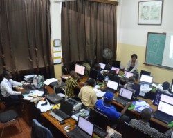
OSFAC runs a competitive internship program in GIS and remote sensing, which accepts a limited number of both academic and professional interns. Interns are accepted in a revolving fashion based on the availability of positions and are based at the OSFAC GIS/RS lab at the University of Kinshasa. The length of internships is determined individually by OSFAC depending on the intern’s proposed objectives. All OSFAC internships are unpaid.
OSFAC-DMT
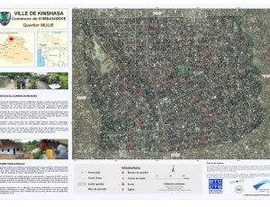
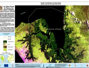
One of OSFAC's main activities is to disseminate, free of charge, satellite images and derivatives throughout the Congo Basin received from its partners such as NASA, USGS and USFS.
Training : General information
One of the main activities of the Observatoire Satellital des Forêts d'Afrique Centrale (OSFAC) is capacity building in the use of satellite data and mapping techniques for the sustainable management of natural resources.


