Items filtered by date: April 2024
Sunday, 16 November 2014 01:00
Mapping services
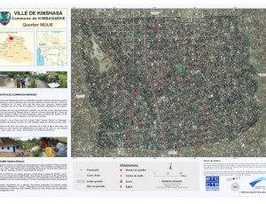
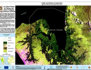
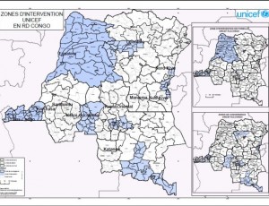
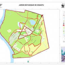
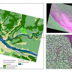
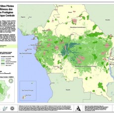
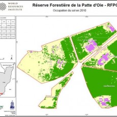
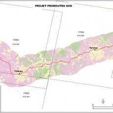
As part of its activities to promote the use of satellite data and related mapping techniques in improved natural resource management and sustainable development, OSFAC is available to provide technical assistance in GIS and remote sensing.
Saturday, 15 November 2014 12:59
Annual Report

Friday, 14 November 2014 09:36
Fixed Obligation Grant I
In recent years, OSFAC has worked with its partners, the DRC Ministry of Forests and Environment, USAID-CARPE, NASA, University of Maryland (UMD) and South Dakota State University (SDSU) to provide data, tools and capacity for satellite based monitoring of the Congo Basin forests.
Friday, 14 November 2014 09:30
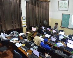
Training modules & pricing tables
Introduction to GIS
$500
per 3 days
Introduction to ArcView
$750
per 5 days
- Introduction to GIS (?)
- Introduction to ArcView 3
- Management of vector data
- Extensions of Arcview 3
- Presentation of information / Layout
- Tabular data management
- Creating and editing vector data
- -
ArcGIS Level I
$800
per 5 days
- Overview of GIS
- Basics of ArcGIS
- Applications ArcMap, ArcCatalog, ... (?)
- Working with Spatial Data
- Data Presentation / Layout
- Projection vector features
- Creation and updating of vector features
- Work with tabular data (descriptive attributes)
Remote Sensing Level I
$1,250
per 5 days
- Introduction to Remote Sensing
- Active and passive remote sensing
- ERDAS / ENVI Menu Toolbar
- Opening and viewing an image
- Import generic formats of images
- Combination of bands
- Colored composition
- Make a mosaic
- ...
Introduction to GPS
$200
per 2 days
- Introduction to GPS
- Operation
- Field applications
- GPS coordinates recovery
- ...


